Rahmberghöhenweg
Short facts
- start: Parkplatz Kappesfeld
- destination: Parkplatz Kappesfeld
- easy
- 8,00 km
- 2 hours 40 minutes
- 290 m
- 361 m
- 91 m
- 40 / 100
- 60 / 100
best season
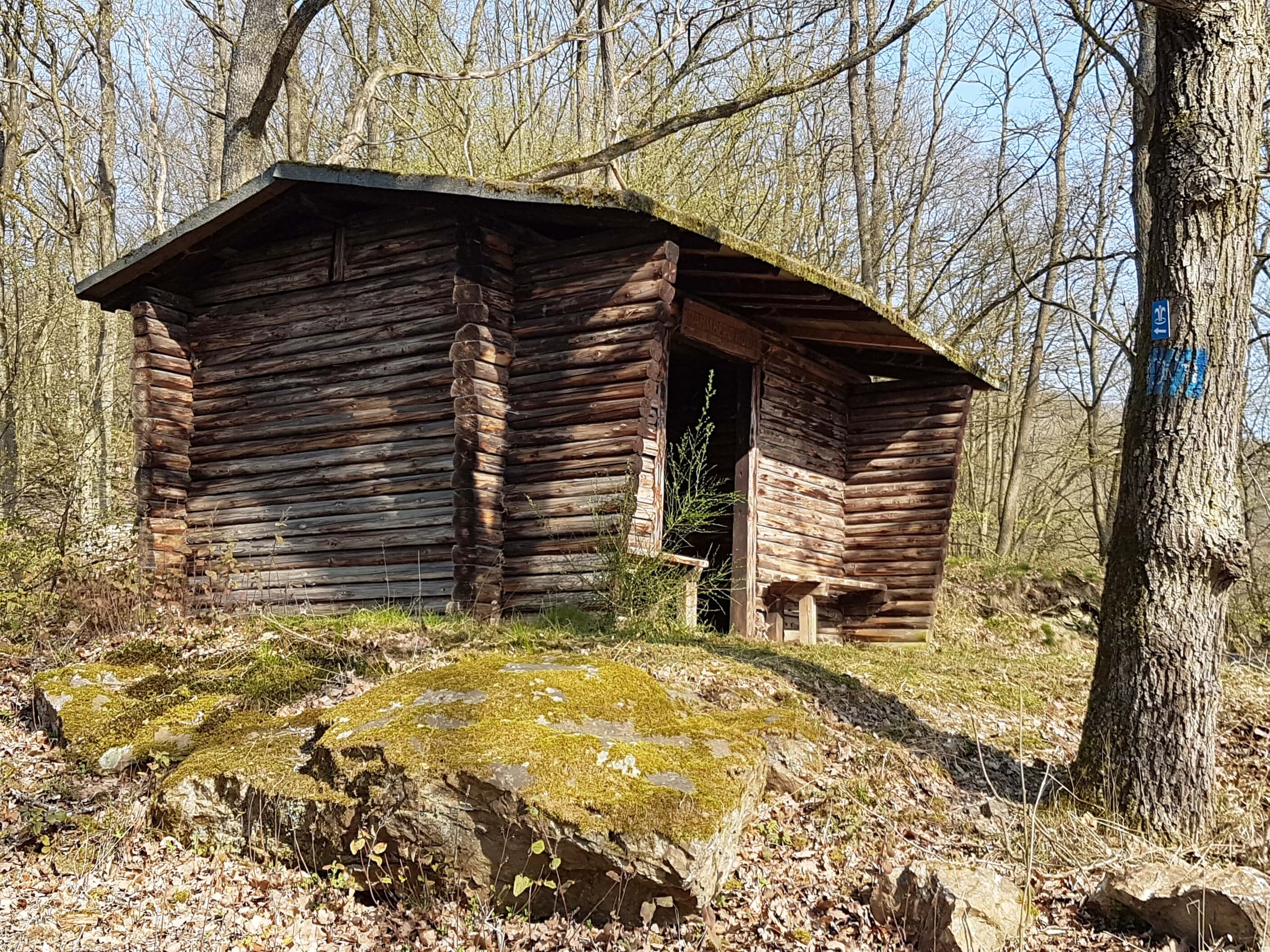
Nothing for people who don't like to go uphill
The word "altitude" in the name of the path should be taken literally, because from the banks of the Lahn it goes uphill continuously for four kilometres to the heights of the Westerwald. This is compensated for by beautiful valley views of medieval Dausenau nestling up against the Lahn and the certainty that from now on the path will be steadily downhill.

General information
informations
- Suitable for Pushchair
- Suitable for Bike
- Loop Road
- Labelling
- Mainly Shady
Getting there
Mit dem PKW von Bad Ems über B260 nach Dausenau.
Parking
Public transit
Mit dem Zug nach Dausenau
Maps
Wanderkarte Bad Ems 1:20.000
Next steps Download GPX